
Technologies
Powering Enterprise Geospatial Platforms Through Advanced Technologies
At Polygon Geospatial, technology is more than a collection of tools—it’s the foundation of intelligent enterprise platforms. We combine reality capture, geospatial intelligence, machine learning, and digital engineering to transform physical assets into connected digital ecosystems.
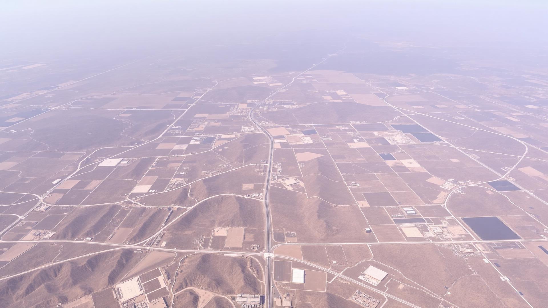
Our technology ecosystem
Three layers, one connected stack
Data flows from capture, through intelligence and integration, into the visual environments and enterprise products your teams work in every day.
Layer 1
Data Acquisition
Capturing the physical world with precision
Reliable intelligence begins with accurate data. Polygon employs advanced reality capture to create precise digital representations of terrain, infrastructure, facilities, and natural environments—the foundation of every platform we build.
Layer 1
Drone Intelligence
High-resolution reality capture
Drone technology enables rapid, accurate, and cost-effective mapping of large and complex environments. Using photogrammetry, RTK/PPK workflows, multispectral sensors, and thermal imaging, we capture high-quality spatial data for engineering, inspection, monitoring, and asset management.
Key capabilities
Representative projects
- 10,000+ acres of drone mapping across mining, infrastructure, and renewable energy
- 1,000+ km of linear corridor surveys for transportation and utility projects
- Construction progress monitoring using periodic drone inspections
- Volumetric analysis for mining operations
Layer 2
Intelligence & Integration
Transforming spatial data into operational intelligence
Raw spatial data becomes valuable only when it is organized, analyzed, and connected to business workflows. We integrate multiple data sources into intelligent enterprise platforms using GIS, IoT, and advanced analytics.
Layer 2
Enterprise GIS
The central intelligence layer
Enterprise GIS acts as the digital backbone of every Polygon platform, integrating spatial data, enterprise systems, and operational workflows into a single source of truth.
Key capabilities
Representative projects
- Enterprise GIS portals for government organisations
- Land information management systems
- Infrastructure asset mapping
- Utility network management platforms
Layer 3
Visualization & Enterprise Applications
Turning intelligence into action
The final layer transforms processed data into interactive digital environments that enable planning, monitoring, collaboration, and operational decision-making.
Layer 3
Digital Twins
Living digital representations of physical assets
Polygon develops Digital Twins that integrate geospatial data, engineering information, IoT, and operational data into a unified environment for visualization, monitoring, and analysis.
Key capabilities
Representative projects
- Mining Digital Twin integrating fleet, production, and infrastructure
- Industrial campus Digital Twin
- Construction Digital Twin for progress monitoring
- Smart infrastructure visualisation platforms
0+
Acres of drone mapping delivered
0+ km
Linear corridor surveyed
0
Integrated technology layers
0
Industries served

Want the technical deep dive?
Our engineers can walk through architecture, data pipelines, and deployment options for your environment.