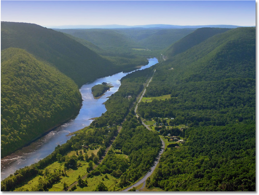
Solutions / Hydrology
Hydrology and Hydraulic Intelligence for Safer Water Infrastructure
Polygon supports flood modelling, watershed analysis, drainage planning, nala and canal diversion studies, and impact assessment using hydrological data, terrain models, GIS, and hydraulic simulation tools.
Flood ModellingCatchment AnalysisDrainage DesignDiversion PlanningImpact Assessment
What we deliver
Hydrology solutions
Each capability below can be delivered on its own or combined into a single enterprise solution.

0107 capabilities
Watershed & Catchment Delineation
Demarcate catchments, sub-watersheds, stream networks, drainage divides, flow paths, and entry points using DEMs, GIS layers, and field-verified hydrology data.
Ready to modernise your hydrology operations?
We start with your data, your constraints, and your teams — then design the geospatial system around them.