Company
We build the spatial systems operations run on
Polygon Geospatial brings together enterprise GIS, Earth Observation, and applied analytics to help organisations see, understand, and act on what happens across their sites.

About Polygon
Geospatial intelligence for real-world operations
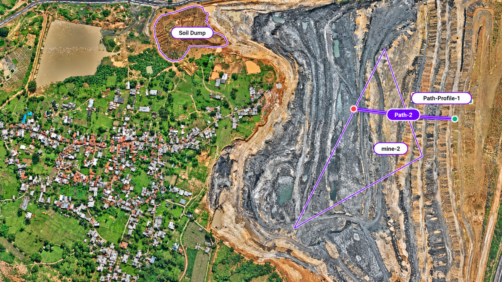
Polygon Geospatial builds intelligent spatial platforms for industries that depend on accurate ground truth. We combine drone surveys, satellite data, LiDAR, GIS, and Digital Twin systems to help teams plan, monitor, and manage complex physical assets with confidence.
Our work spans mining, infrastructure, government, renewable energy, utilities, smart cities, and enterprise GIS. From field data capture to operational dashboards, we design systems that turn spatial data into decisions teams can act on.