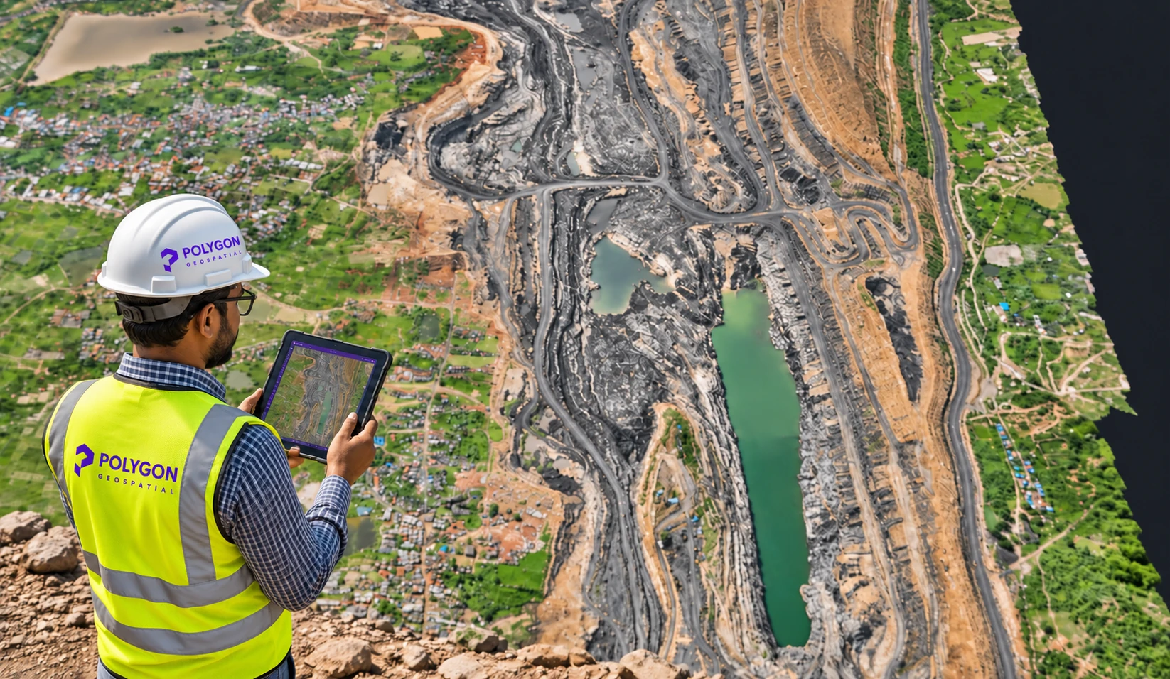
Detailed site maps
Orthomosaics and lease boundaries
See site features and boundaries together in a georeferenced view.
2027 Annual Mine Survey
Plan your annual survey with drone mapping, satellite imagery and clear geospatial deliverables tailored to your mine.
Experience behind
your next survey
Annual surveys support mine operations, monitoring and applicable statutory reporting. Planning early gives your team time to coordinate field activities and prepare quality geospatial outputs.
Mining lease holders should review the applicable Mineral Conservation and Development Rules (MCDR), 2017, including Rule 34A, and relevant Indian Bureau of Mines (IBM) directions and guidelines.
The appropriate approach depends on applicable requirements, terrain, mine characteristics, survey specifications and project scope. No single method or output automatically satisfies every mine's requirements.
From a clear view of your site to datasets your team can use. Outputs are agreed around your mine's requirements and survey methodology.
Orthomosaics and lease boundaries
See site features and boundaries together in a georeferenced view.
Elevation models and contours
Assess levels and slopes with DSM, contours and DTM where supported.
GIS datasets and 3D visualisation
Bring survey outputs into planning, monitoring and spatial analysis workflows.
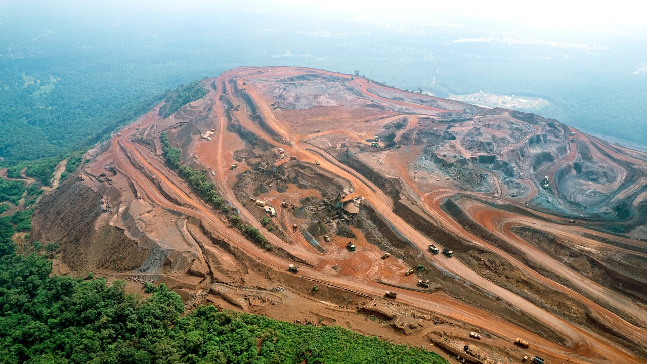
High-resolution aerial data capture for detailed mapping and terrain assessment of mining areas.

Satellite imagery solutions for appropriate mine monitoring and mapping requirements.
Polygon Geospatial combines field surveying capabilities with satellite data processing, GIS and WebGIS technologies to deliver integrated geospatial solutions for the mining sector.
We follow a structured approach to help mining organisations plan and execute annual survey assignments.
Understand the mine location, lease boundaries, applicable survey requirements, available records and expected deliverables.
Determine the suitable survey methodology, technology, field requirements and execution schedule based on the project scope.
Execute drone surveys or coordinate suitable satellite imagery acquisition, as applicable to the requirements.
Process the acquired data into georeferenced imagery, elevation models, contours and other agreed outputs. Conduct appropriate quality checks.
Provide the agreed technical outputs, GIS datasets, maps and supporting documentation in the specified formats.
Where required, support further GIS integration, WebGIS visualisation and subsequent survey comparisons.
Our solutions are intended for organizations involved in mining operations and survey management, including:
Not necessarily. The appropriate survey methodology depends on the applicable regulatory requirements, IBM directions, mine characteristics and prescribed technical specifications. Drone and satellite-based approaches should be evaluated against the specific requirements of each mine.
Yes. Polygon can plan and coordinate geospatial survey assignments across multiple locations, subject to project scope, access, scheduling and operational requirements.
Depending on the agreed scope, deliverables can include orthomosaics, DSM, DTM, contours, elevation information, GIS datasets, maps and 3D visualisations.
Yes. Survey datasets can also support mine planning, terrain assessment, progress monitoring, historical comparisons and WebGIS-based visualisation, subject to the intended use and data specifications.
We recommend initiating discussions well ahead of the intended survey period. Early planning allows sufficient time for requirement assessment, permissions, site coordination, field execution and data processing.
Start the discussion early to understand your mine's survey requirements, select an appropriate methodology and plan the execution schedule.
Our team can discuss your requirements and provide a suitable technical and commercial proposal.