Solutions / Mining
Mining GIS, Drone Surveys and Digital Twins
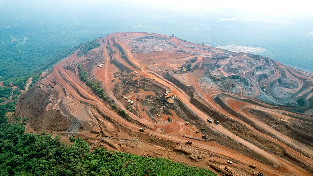
Polygon Geospatial helps mining teams plan and monitor operations through drone mine surveys, GIS mapping, fleet intelligence, stockpile monitoring and mining Digital Twins.
Digital Mine OperationsFleet IntelligenceProduction AnalyticsDigital TwinSafety
What we deliver
Mining solutions
Each capability below can be delivered on its own or combined into a single enterprise solution.

0108 capabilities
Mine Fleet Management
Real-time monitoring of haul trucks, excavators, loaders, and support equipment with dispatch optimization, production tracking, equipment health, fuel management, tire monitoring, and operator performance.
Ready to modernise your mining operations?
We start with your data, your constraints, and your teams — then design the geospatial system around them.