Land Planning
Parcel Identification
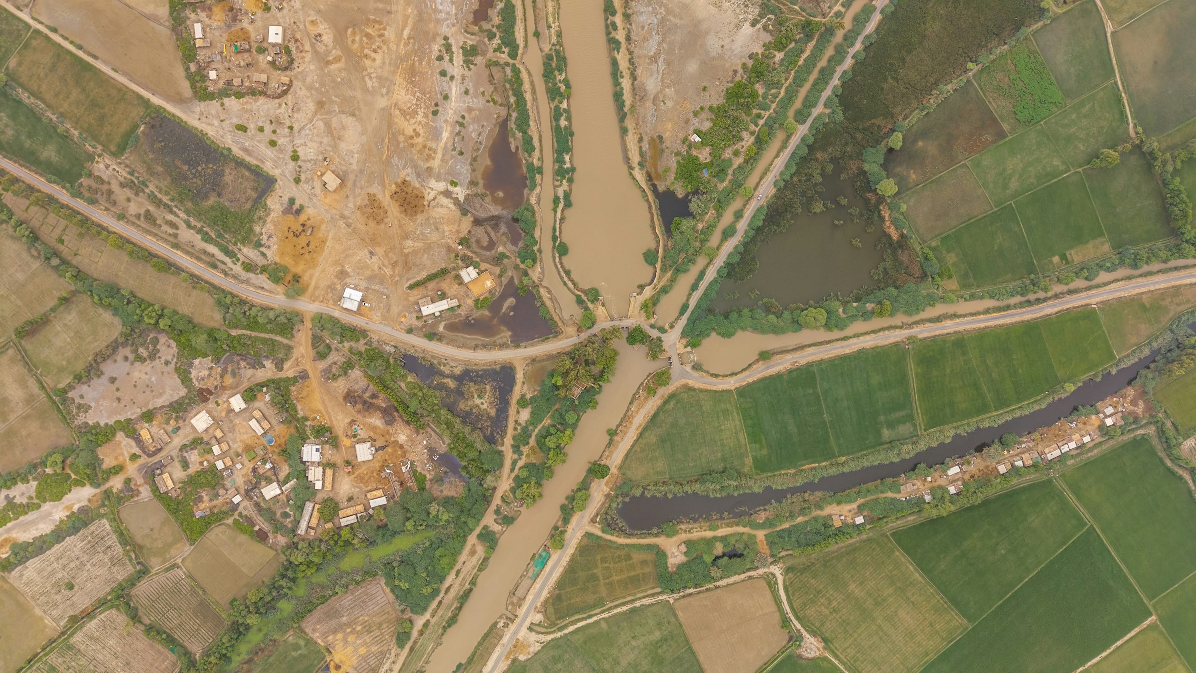
Locate and shortlist parcels against project corridors and criteria.
Land Bank Management
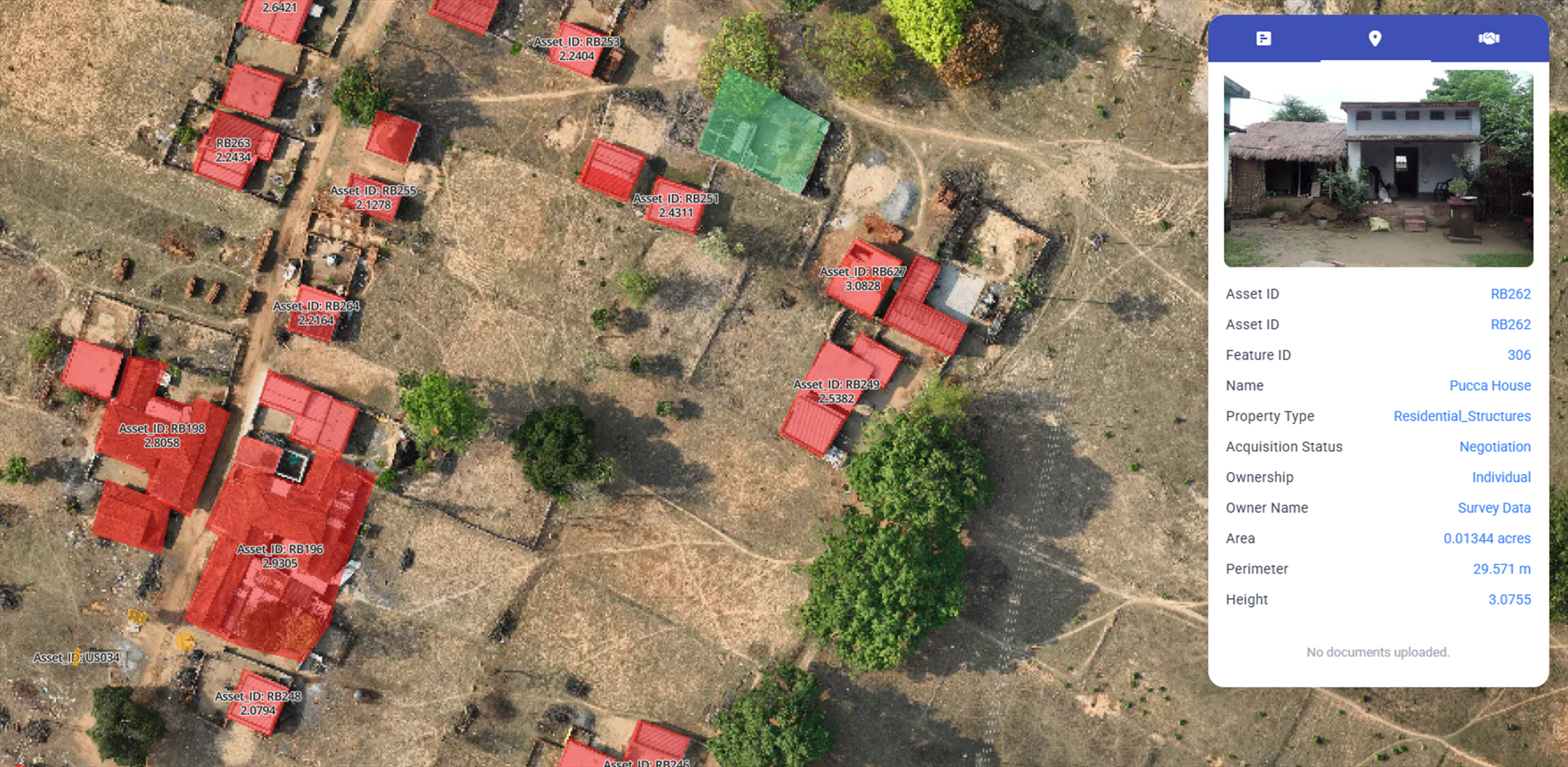
One register of owned, optioned and target land with status.
Cadastral Mapping
Survey records digitised and aligned to accurate spatial boundaries.
Corridor Planning
Route and alignment options assessed against land impact.