Solutions / Infrastructure
Building Smarter Infrastructure Through Digital Intelligence
Polygon delivers geospatial solutions for planning, designing, constructing, monitoring, and managing infrastructure assets throughout their lifecycle.
Construction IntelligenceDigital Asset ManagementProgress MonitoringInspection
What we deliver
Infrastructure solutions
Each capability below can be delivered on its own or combined into a single enterprise solution.

0108 capabilities
Corridor & Alignment Mapping
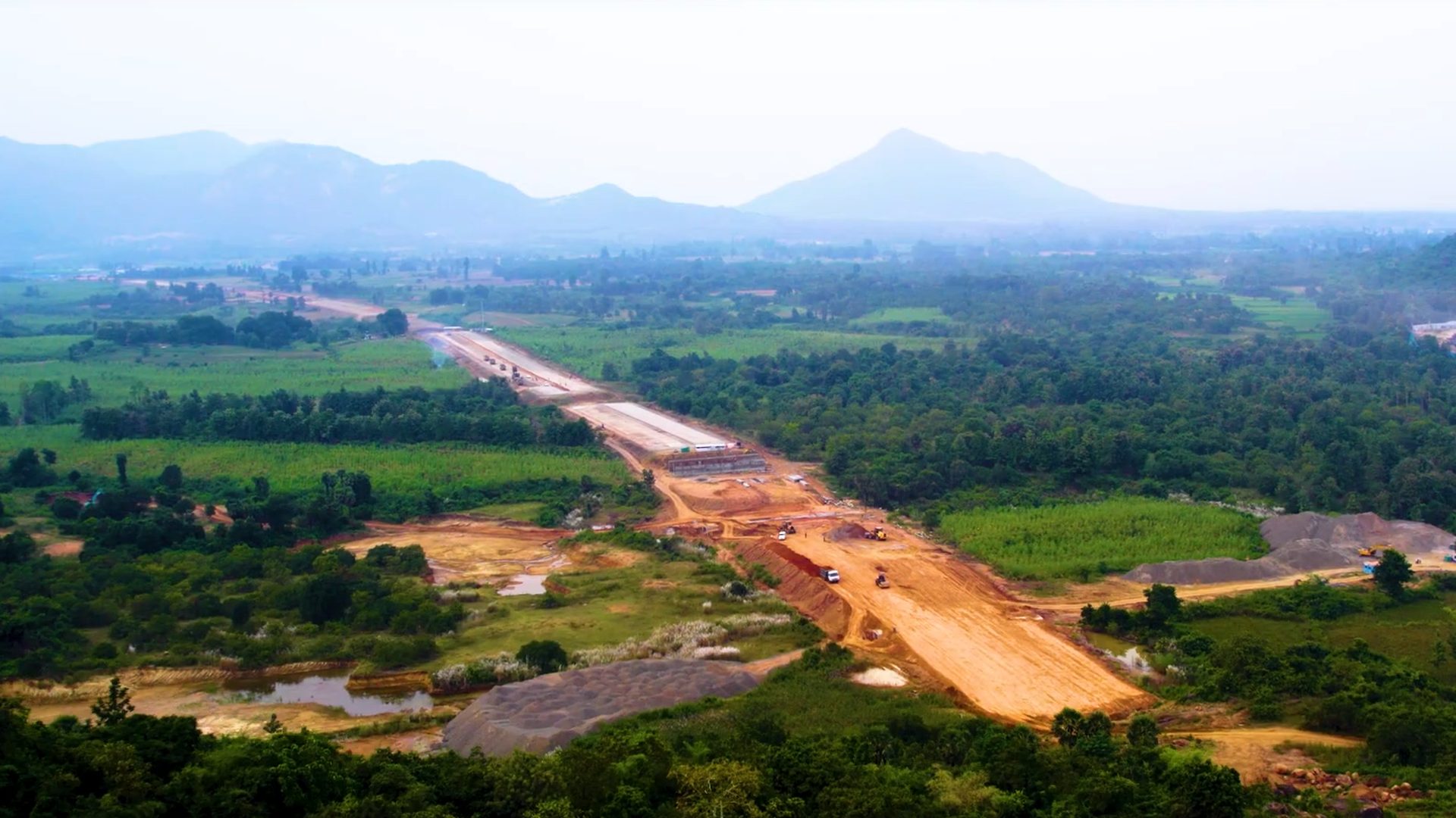
GIS-based route studies, right-of-way mapping, terrain constraints, parcel overlays, and alignment intelligence for highways, railways, pipelines, and linear infrastructure.

Ready to modernise your infrastructure operations?
We start with your data, your constraints, and your teams — then design the geospatial system around them.