Faster,
accurate, efficient
UAV driven survey solutions
Drones are becoming a powerful tool within the mapping and surveying industry. They effectively perform work for 3D mapping, land surveys, photogrammetry, and topographic surveying with increased efficiency


5x Faster
Survey Lifecycle

100000x Datapoints
Accuracy

95%Increase
Operational Efficiency
5x Faster
Survey Lifecycle
100000x Datapoints
Accuracy
95%Increase
Operational Efficiency
How drones can make your surveys more efficient!
Drone imagery reduces guesswork or misinterpretation, which can lead to costly errors. Having such a great visual representation of a site is invaluable for project management and subcontractors
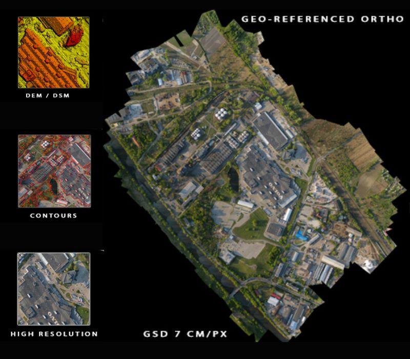
What we Deliver!
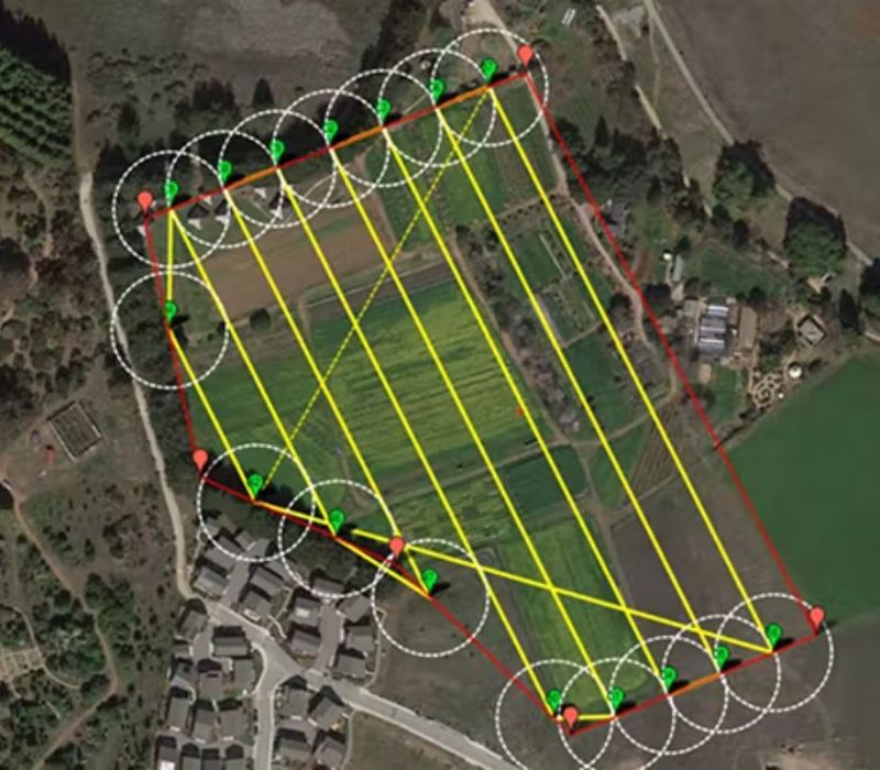
How drones help with Surveying & Mapping!

Faster
Drones surveys are up to five times faster than land-based methods and require less manpower to operate

Accurate
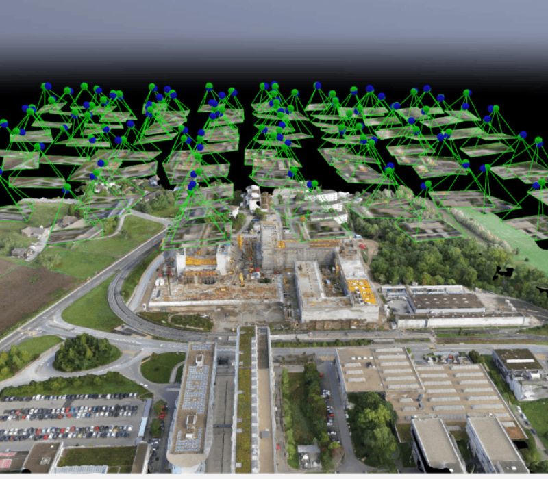
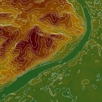
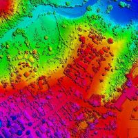
A single drone flight produces thousands of measurements, each pixel of the final map contains highly accurate three-dimensional geodata

Accessible
Drones can take off and fly almost anywhere and are not limited by inaccessible landscapes, unstable slopes, or harsh terrains

Safety
Workers can steer clear of heavy equipment and dangerous terrain while drones fly over obstacles, navigate busy worksites and unstable ground

Dispute resolution
Easy-to-access visualized data means that even non-surveyors can easily see the work that’s been done and further avoids disputes

Cost reduction
Drone surveying saves time across the board, from navigating a site to delivering survey results