
Core Services
That makes us special


Surveying & Mapping
• Building footprint
• Land Use/Cover Map
• Orthomosaic map
• DSM
• DTM
• Infrastructure
• Topography
• Proposed plan
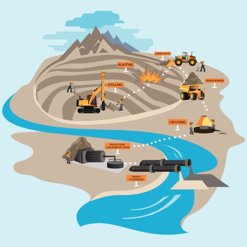

Mining
• IBM deliverables
• Stockpile Analysis
• Asset Mapping
• Slope & Path profiles
• Identification of encroachments
• Periodic Monitoring
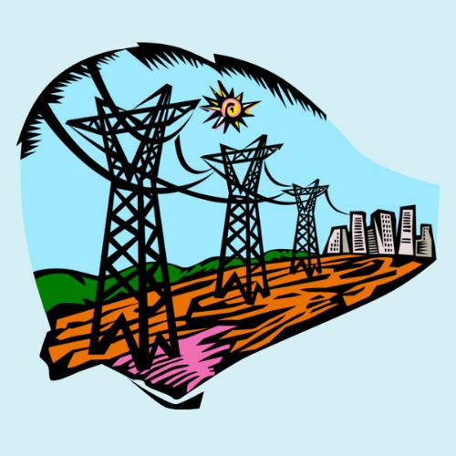

Utilities
• Site & Tower Inspections
• Line of sight Survey
• Structure & Foundations
• Hotspot Detection
• Asset Inspection
• Feasibility Study
• Aerial Photogrammetry
• Vegetation Encroachments
• Project Planning
• EMF Survey
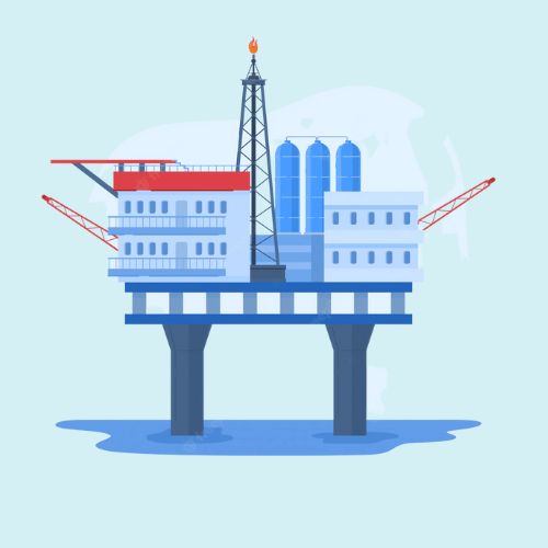

Oil & Gas
• Aerial Inspection
• Thermal defect assessment
• Visual Inspections
• Asset Mapping
• Construction Progress Monitoring
• Feasibility Study
• Project Planning


Renewable Energy
• Visual Inspection
• Thermal Inspection
• Hotspot Detection
• Periodic Efficiency Monitoring
• Feasibility Study
• Aerial Photogrammetry
• Construction Progress Monotoring
• Allignment & Inclination checks
Get started with us
A comprehensive geospatial solution for all your data storing and reporting
Get Started