


Process
Mapping, monitoring, Inspections with drones is becoming a staple in many industries like surveying, mining, construction, transmission lines, oil and gas, forestry, agriculture and real estate as users can quickly collect their own aerial data to informed decision-making
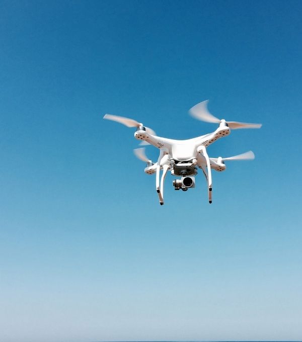

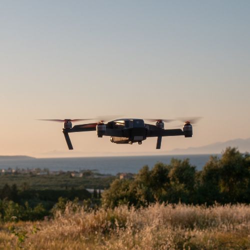

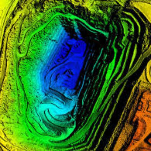
Data capture using UAV systems
Capturing images is usually just the first step in a drone-based remote sensing project to produce usable data products. The successful UAS operations require a tremendous amount of planning regarding aerial data acquisition, sensor technologies, and ground control survey. Some of key steps involved in process of mission planning are., Defining accuracy requirements, Researching operational site restrictions, Selecting an imaging sensor and computing image geometry, Planning aerial imagery collection
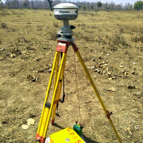

Georeferencing with GCPs
Ground Control Points(GCPs) are points on the Earth’s surface with known coordinates that are used to build a geometric relationship between the ground reference and the images. GCPs are used to georeference drone images collected through UAV systems. In general, if the terrain is more homogenous, fewer GCPs are needed, whereas more GCPs are needed in areas with varying terrain. We at polygon, do not compromise on the number of GCPs collected to achieve desired GSD based on project requirements
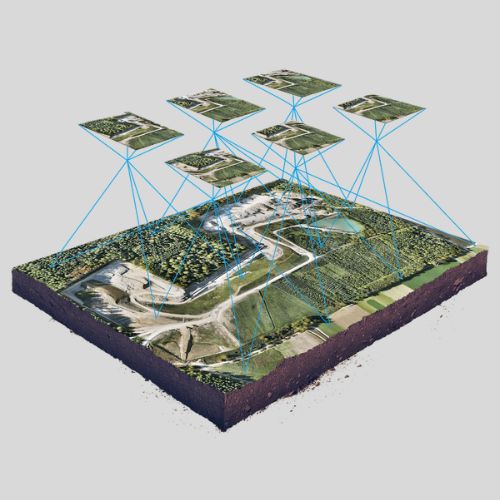

Aligning & stitching drone captured images
The image stitching workflow uses tie points to align overlapping images. Tie points are features or objects that can be easily identified in multiple, overlapping images. The alignment process generates a point cloud of the matched features that can then be used to transform the images for stitching. After tie points have been identified and the images have been georeferenced, the image stitching workflow involves the plane transformations to seamlessly blend the overlapping images to create a final composite image
Extracting deliverables
The basic approach for deriving products from point clouds is to first classify the points into ground and non-ground categories. Next, non-ground points can be assigned to several different classes such as the ground, low or high vegetation, buildings etc,. DTMs are derived using height values from ground points, while DSMs incorporate height values from both ground and non-ground points. An orthomosaic is an aerial image that has been geometrically corrected, or orthorectified, to remove terrain effects, lens distortions, and camera tilt
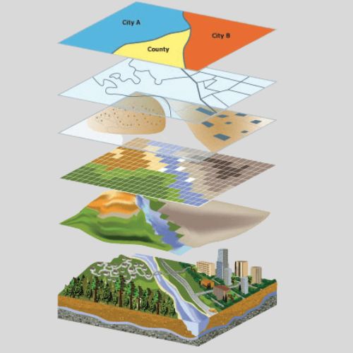
Delivering project custom dashboards
Every project is different and so are the delivery requirements. There are a wide range of requirements based on custom needs of the industry and project. We understand customers' requirements and our web solution is designed as a one stop solution for geospatial reporting systems. All the required data is managed and visualized in layers for better decision making. This data include imagery, topography, asset mapping, horizontal & vertical measurements. The projects can be monitored over a period of time and for inspections, all the periodic reports, defects and the rectification status were included with the solution