
WebGIS: Revolutionizing How We Use Geographic Information
Geographic Information Systems (GIS) have long been a cornerstone of spatial data analysis and mapping. Traditionally, GIS software was confined to desktop applications, limiting access and collaboration. Enter WebGIS, a revolutionary technology that brings the power of GIS to the web. By leveraging the internet, WebGIS makes geographic information more accessible, interactive, and user-friendly. In this blog, we’ll explore how WebGIS is changing the way we use geographic information and the benefits it brings to various industries.
What is WebGIS?
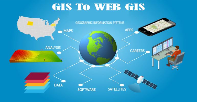
WebGIS is a GIS system that uses web technologies to deliver geographic information and services to users over the internet. Unlike traditional GIS, which requires specialized software installed on a computer, WebGIS can be accessed through a web browser, making it widely available to anyone with an internet connection.
Key Features of WebGIS
1. Accessibility: WebGIS platforms can be accessed from anywhere, at any time, using any device with internet connectivity. This democratizes access to geographic information.2. Interactivity: Users can interact with maps and data in real-time, enabling dynamic exploration and analysis.
3. Collaboration: Multiple users can work on the same project simultaneously, fostering collaboration and sharing of information.
4. Integration: WebGIS can integrate with other web services and data sources, providing a comprehensive view of spatial information.
5. Scalability: WebGIS platforms can handle large datasets and numerous users, making them suitable for both small-scale and large-scale applications.
Benefits of WebGIS
1. Enhanced Decision-Making:
WebGIS provides real-time access
to geographic data, enabling decision-makers to analyze and interpret spatial
information quickly. This leads to more informed and timely decisions in various
fields such as urban planning, disaster management, and resource allocation.
2. Improved Public Engagement:
Public-facing WebGIS platforms
allow citizens to access geographic information and contribute to community planning
efforts. This fosters greater transparency and public involvement in decision-making
processes.
3. Cost Savings:
By eliminating the need for expensive GIS
software and hardware, WebGIS reduces the cost of managing and disseminating
geographic information. This makes it an attractive option for organizations with
limited budgets.
4. Streamlined Workflows:
WebGIS integrates with other tools
and systems, streamlining workflows and improving efficiency. For example, field
workers can collect data using mobile devices and upload it directly to a WebGIS
platform, where it can be immediately accessed and analyzed by office staff.
5. Enhanced Data Sharing and Collaboration:
WebGIS allows for
easy sharing of geographic data between departments, organizations, and the public.
This promotes collaboration and ensures that everyone has access to the same
up-to-date information.
"WebGIS is not just a technological advancement; it's a paradigm shift in how we understand and utilize geographic information to shape our world."
Applications of WebGIS
1. Urban Planning and Development:Urban planners use WebGIS to visualize land use, zoning, and infrastructure data. This helps in making informed decisions about city development, transportation planning, and environmental protection.
2. Disaster Management:
WebGIS plays a crucial role in disaster management by providing real-time data on affected areas. Emergency responders can use this information to plan evacuation routes, allocate resources, and coordinate relief efforts.
3. Environmental Monitoring:
Environmental scientists use WebGIS to monitor changes in ecosystems, track wildlife habitats, and analyze environmental impacts. This aids in conservation efforts and policy-making.
4. Agriculture:
Farmers and agricultural consultants use WebGIS for precision farming, analyzing soil conditions, crop health, and weather patterns to optimize yield and reduce resource usage.
5. Transportation and Logistics:
Logistics companies use WebGIS to optimize routes, manage fleets, and track shipments. This improves efficiency and reduces costs in the supply chain.
Conclusion
WebGIS is revolutionizing the way we use and interact with geographic information. By making spatial data more accessible, interactive, and collaborative, WebGIS empowers users across various industries to make better-informed decisions, engage with the public, and streamline their workflows.
As WebGIS continues to evolve, we can expect even greater innovations and applications that will further enhance its impact. Whether you’re an urban planner, an environmental scientist, a farmer, or just a curious citizen, WebGIS opens up a world of possibilities for exploring and understanding the spatial dimensions of our lives.


